
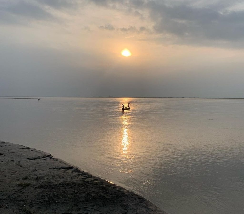
Flood mitigation in North Bihar cannot be treated simply as a question of too much water. It is a problem of water, sediment, topography, drainage and the way rivers have been managed over several decades. Rivers such as the Kosi, Bagmati, Gandak, Burhi Gandak and Kamla-Balan descend from the Himalayas and enter the exceptionally flat plains of Bihar, carrying large volumes of monsoon water and sediment.
For decades, the principal response has been structural: contain rivers within embankments and prevent floodwater from spreading into adjoining areas. Bihar now has about 3,746 km of embankments, which the state Water Resources Department says provide reasonable protection to around 36.46 lakh hectares. Embankments therefore remain an important part of Bihar’s flood-protection system.
The difficulty is that a river carrying enormous quantities of sediment cannot indefinitely be treated as water flowing through a fixed pipe.
The limits of embankments for flood mitigation in North Bihar
Embankments perform an essential function where densely populated settlements, towns, major roads, railways and other critical infrastructure require protection. But they do not remove floodwater or sediment from the river system. They primarily control where the water is allowed to go.
This distinction is particularly important in the Kosi basin.
The Kosi carries huge quantities of Himalayan sediment into Bihar. Bihar’s basin information system records an average annual silt load of about 95 million cubic metres at Barahkshetra and notes that sediment deposition in the plains progressively reduces channel capacity. Research on sediment management in the lower Kosi similarly estimates annual sediment flux of around 100 million tonnes at Chatara, falling substantially downstream as sediment is deposited across the alluvial reaches.
Historically, such rivers could spread water and sediment over a much wider floodplain. Once confined between embankments, the area available for sediment deposition becomes much narrower. Sediment consequently accumulates within the confined river corridor, contributing to riverbed aggradation.
Over time, this can create a dangerous situation: the river channel may become progressively elevated relative to parts of the adjoining countryside. Research into the 2008 Kosi avulsion at Kusaha reported riverbed levels around 4–5 metres above the surrounding floodplain in the affected reach.
This changes the nature of flood risk. When an elevated, embanked river breaches its containment, water can escape rapidly into lower surrounding land. Restoring that water to the main channel can then become difficult.
There is another problem: drainage.
Rain falling outside an embankment must eventually find its way into a river or drainage channel. Roads, railway lines and embankments can interrupt these natural drainage pathways. The Bihar Water Resources Department itself identifies embankment-induced waterlogging, silted rivers and obstruction of drainage channels among the causes of waterlogging. It records about 9.41 lakh hectares of waterlogged land in the state, including 8.32 lakh hectares in North Bihar.
Research on the Kosi fan has also found that embankments prevent some drainage networks from connecting naturally with the Kosi, while roads and railway lines further obstruct drainage.
The policy question, therefore, should not be whether Bihar needs embankments. It should be where embankments are indispensable, where they can be redesigned, and where rivers and floodwater need more space.
Moving towards a Room for the River approach
A useful alternative is the principle commonly described as ‘Room for the River’. Rather than continually responding to higher flood levels by only raising or strengthening embankments, this approach creates designated areas where excess water can safely spread, slow down or be temporarily stored.
The Netherlands has applied this approach through measures including relocating dykes, lowering floodplains, creating side channels and removing obstacles that restrict high flows, under its Room for the River programme.
North Bihar cannot simply copy the Dutch model. Its population density, landholding patterns, monsoon hydrology, Himalayan sediment loads and socio-economic conditions are very different. But the underlying principle is relevant.
Instead of attempting to confine every flood within an increasingly rigid corridor, selected stretches could provide controlled space for high flows.
This could include designated flood-spreading zones, secondary channels, restored paleochannels, controlled detention areas and strategically widened river corridors. Critical embankments protecting major settlements and infrastructure would remain, while less critical stretches could be assessed for setback embankments or controlled overflow areas.
Such decisions would require detailed hydrological and hydraulic modelling because creating room at the wrong location could simply transfer risk downstream.
Sediment must become part of flood management
Flood management in North Bihar also needs to move from predominantly water management to water-and-sediment management.
Every major intervention should ask two questions: where will the floodwater go, and where will the sediment go?
Sediment movement can now be monitored using satellite imagery, drone surveys, LiDAR, bathymetric surveys and repeated river cross-sections. These datasets can identify reaches where riverbeds are rising, channels are losing carrying capacity or sediment is threatening bridges, barrages and embankments.
A basin-scale sediment budget should therefore be developed for the Kosi, Gandak, Bagmati and other major systems.
This does not mean indiscriminate dredging. Removing sediment from Himalayan rivers on the scale necessary to control the entire system would be difficult and expensive. Instead, targeted sediment management could focus on hydraulic bottlenecks, critical infrastructure, drainage outfalls and locations where deposition significantly increases flood or backwater risk.
Upstream catchment treatment in Nepal is also important, although it cannot eliminate the enormous natural sediment production of young Himalayan catchments. This makes flood and sediment management inherently transboundary.
Reviving chaurs and mauns as natural detention basins
One of Bihar’s strongest opportunities already exists in its landscape.
North Bihar contains thousands of wetlands, abandoned channels and natural depressions, including chaurs and mauns. Chaurs are low-lying, saucer-shaped areas that retain water for several months, while many mauns are oxbow or cut-off river water bodies connected historically or seasonally with river systems.
These should not be viewed merely as wasteland awaiting drainage or development. They can form part of Bihar’s flood infrastructure.
Bihar’s own Flood Management Information System recognises that chaurs naturally function as detention basins and absorb considerable quantities of early-season floodwater. It also notes that systematic improvement of these natural detention areas has not traditionally been widely practised.
Restored chaurs, mauns and connected wetlands could temporarily accommodate floodwater, reducing the speed and volume of water moving towards settlements and downstream channels. During extreme rainfall, a network of wetlands can function as distributed storage rather than forcing the entire flood pulse through embanked channels.
The benefits extend beyond flood management. Floodplain wetlands support fisheries, groundwater interaction, agriculture and biodiversity. The World Bank has documented how North Bihar’s wetlands absorb runoff during monsoon flooding and how embankment construction fragmented some wetlands and altered their natural hydrological connections.
The objective should therefore be to map each significant chaur and maun, determine its present storage capacity, identify blocked inlet and outlet channels, prevent further encroachment and assess where controlled connections with rivers and drainage networks can safely be restored.
A hybrid strategy for flood mitigation in North Bihar
The choice is not embankments versus ecosystems. North Bihar needs both, but each should be used for the function it performs best.
Embankments should provide high levels of protection to towns, densely populated settlements and critical infrastructure. At the same time, floodplains, wetlands, secondary channels and detention areas should provide space for water where controlled inundation is safer than structural failure.
A modern flood-management system could integrate embankment condition monitoring, riverbed and sediment surveys, real-time rainfall and river gauges, flood-inundation modelling, wetland storage capacity, drainage networks and settlement vulnerability into a GIS-based decision-support platform, of the kind used in risk assessment and mapping. Bihar’s existing FMIS already provides a foundation through hydrological observations, telemetry, flood forecasting, inundation modelling, LiDAR-based floodplain mapping and risk analysis.
This would allow authorities to model not merely whether a river may cross danger level, but where excess water should safely go.
That represents the larger shift North Bihar requires: from trying to prevent rivers from entering the floodplain under almost all circumstances to managing when, where and how floodwater occupies it.
For a region shaped over centuries by mobile, sediment-rich Himalayan rivers, long-term resilience will depend on combining engineered protection with the natural storage and drainage functions of the floodplain. Embankments will remain necessary. But they should become one component of a wider system in which rivers, wetlands, sediment and settlements are managed together rather than separately.